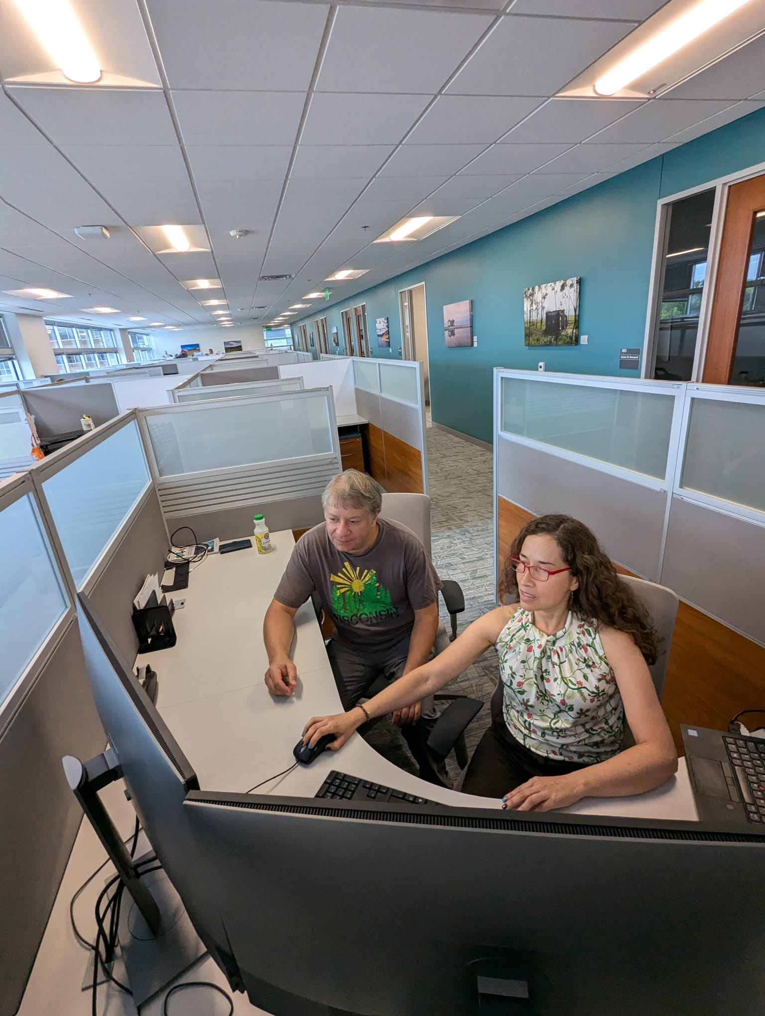
A male office worker sits at a white desk with multiple screens displaying GIS mapping data, pointing a stylus at a large monitor showing a 3D urban model and data charts.

New Master’s Program Connects AI, Geography and Healthcare

The MPS in Geospatial Artificial Intelligence and Healthcare prepares students to use advanced analytics to improve health outcomes and equity.

As the healthcare sector undergoes a major digital transformation, organizations are generating large and increasingly complex sets of health, environment and spatial data that can be leveraged to address health disparities and emerging threats.
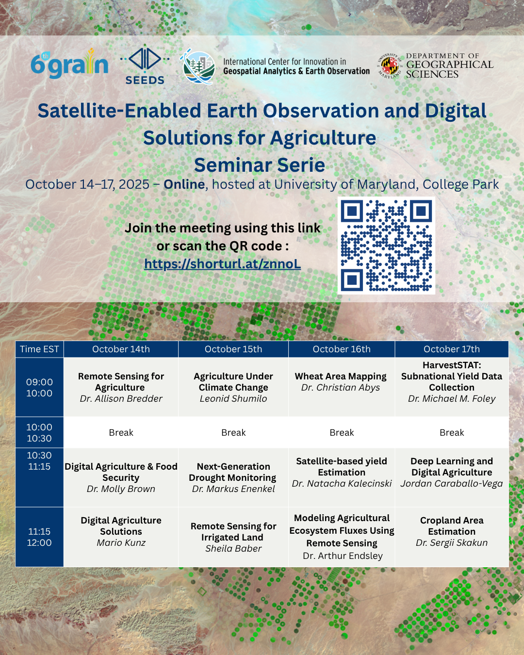
SEEDS Seminar Series – Applied Remote Sensing for Agriculture

Explore practical applications with experts in satellite technology for agriculture.

1 comment

The Satellite-Enabled Earth Observation & Digital Solutions for Agriculture (SEEDS) seminar series brings together experts from Harvard University, UMD, NASA, the World Bank, NASA Harvest and the University of Montana’s Numerical Terradynamic Simulation Group (NTSG) to explore real-world applications of remote sensing for agriculture.

The seminar series will take place online from 9 a.m. to noon EDT, starting Oct. 14 to 17. The agenda features sessions on:

Yin at IVLP

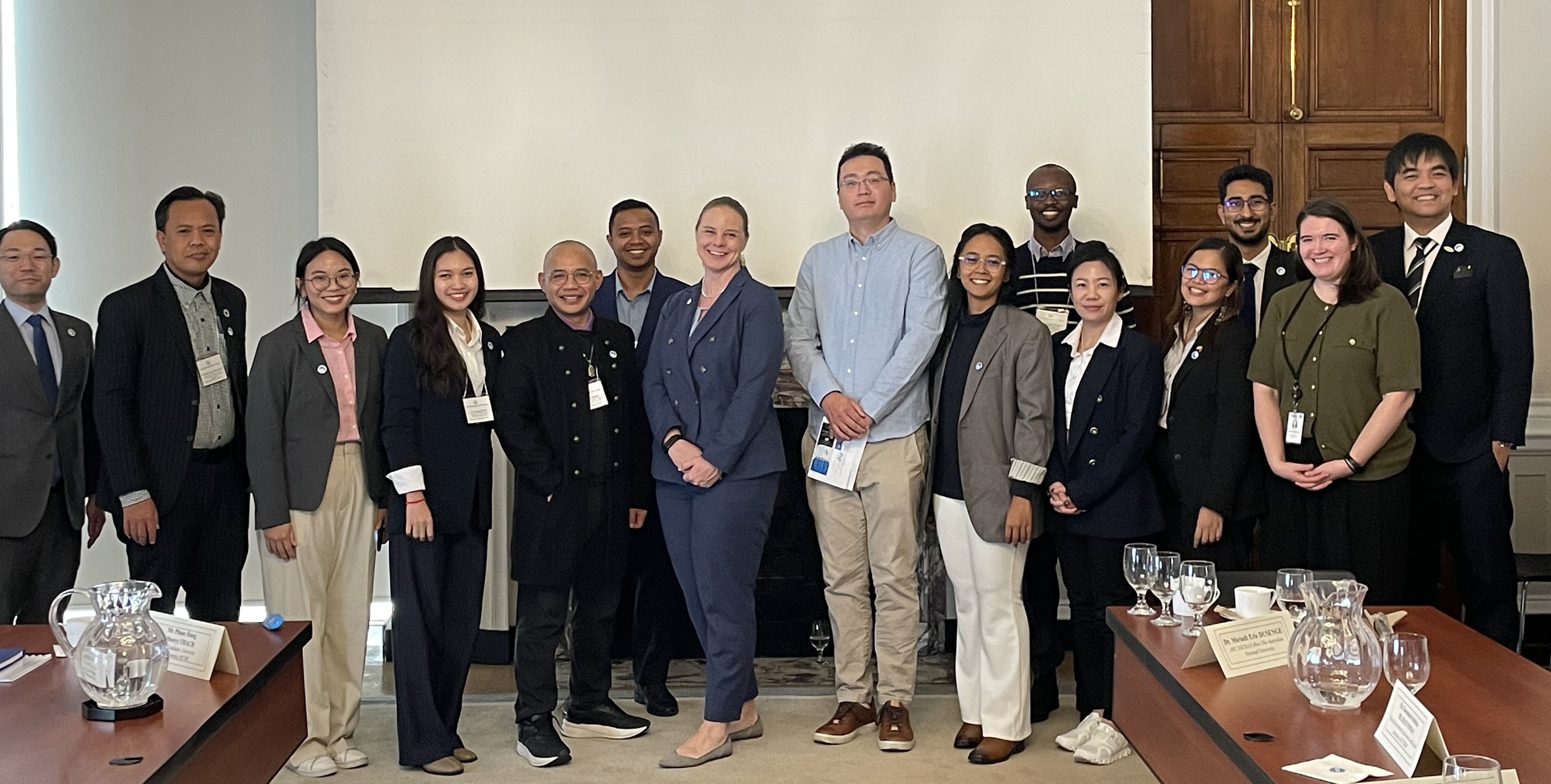
Yiqun Xie presented on AI for Climate at the International Visitor Leadership Program

GEOG faculty, Dr. Yiqun Xie was invited to give a presentation on AI for climate to the U.S. Department of State's International Visitor Leadership Program in December at the Meridian International Center, Washington DC. This program is the U.S. Department of State’s premier professional exchange program. Dr.

NLCMS Report launch

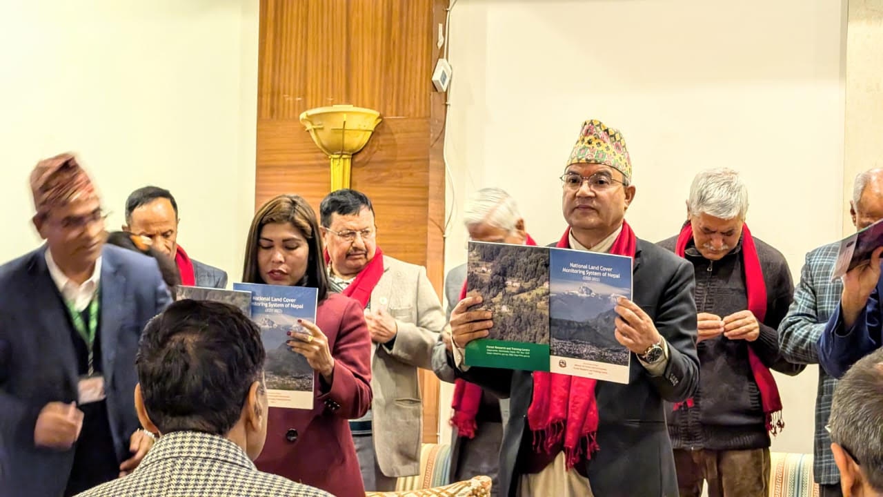
GLAD Team’s Collaboration Helps Nepal Achieve Major Milestone in Land Monitoring

Launch of the National Land Cover Monitoring System marks a new era for Nepal’s environmental sustainability efforts.

The University of Maryland’s Global Land Analysis and Discovery (GLAD) team, led by Research Professor Peter Potapov, has partnered with Nepal’s Ministry of Forests and Environment to co-develop the National Land Cover Monitoring System (NLCMS). This new system will enhance Nepal’s ability to track and manage its land resources.

USGS on Unsplash

Center concludes a successful 3rd International Quantitative Remote Sensing Summer School

The International GEO-Innovation Center recently concluded the Third International Quantitative Remote Sensing Summer School, which ran from July 9 to July 17, 2024. This annual summer school is co-organized by the GEO Center in collaboration with the School of Remote Sensing and Information Engineering at Wuhan University, the Quantitative Remote Sensing Research Center of Wuhan University, and the Department of Geography at the University of Hong Kong.

USGS on Unsplash

Join Us for the Upcoming Remote Sensing Summer School beginning July 10th

The International GEO-Innovation Center is organizing the 3rd International Quantitative Remote Sensing Summer School from July 10th - July 17th, 2024, in cooperation with the School of Remote Sensing and Information Engineering of Wuhan University, the Quantitative Remote Sensing Research Center of Wuhan University, and the Department of Geography at the University of Hong Kong.